 vesseltracker.com
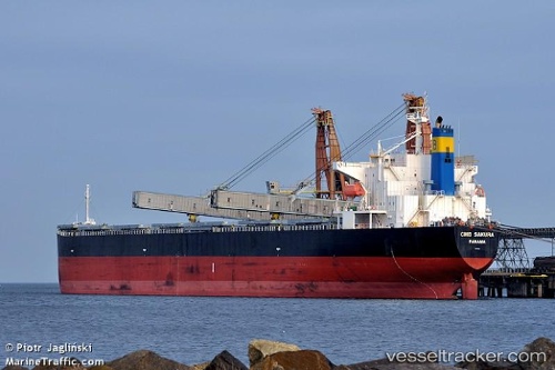
Vessel Heng An Yang IMO: 9316854, MMSI: 414538000 Bulk Carrier
UTC, 42.64998, 29.46222, course: 5, speed: 11.7
UTC, 42.64998, 29.46222, course: 5, speed: 11.7
2026-02-01 11:25:38 UTC, 44.66215, 30.05102, course: 24, speed: 11.4
Live AIS position:
UTC. 34 nm SE of Sulina (Port et Zone Franche)),
updated 2026-02-01 11:25:38 UTC.
Find the position of the vessel Heng An Yang on the map. The latter are known coordinates and path.
marine traffic ship tracker show on live map
The current position of vessel Heng An Yang is 44.66215 lat / 30.05102 lng. Updated: 2026-02-01 11:25:38 UTCCurrently sailing under the flag of China
Details:
Last coordinates of the vessel:
UTC, 42.64998, 29.46222, course: 5, speed: 11.7UTC, 42.64998, 29.46222, course: 5, speed: 11.7
UTC, 42.64998, 29.46222, course: 5, speed: 11.7
2026-02-01 11:25:38 UTC, 44.66215, 30.05102, course: 24, speed: 11.4